Sunday, November 29, 2009

Road to Crampiolo

Road to Crampiolo

From Alpe Devero to Crampiolo through the "Vallaro"

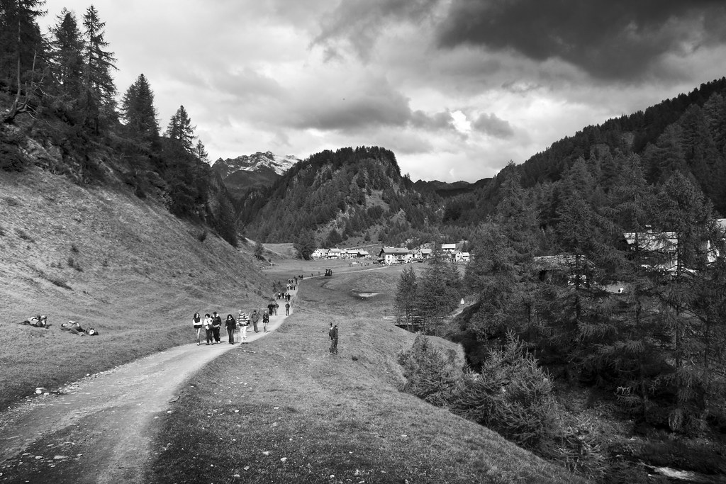
Leaving from the plain of Devero, you follow the cart road which, running along the side of the stream, leads to the Canton locality. Nearby the small bridge leading to the CAI Castiglioni mountain hut you turn right, climbing diagonally on the large meadows towards the wood.
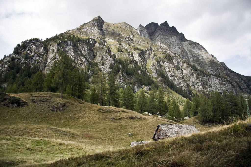
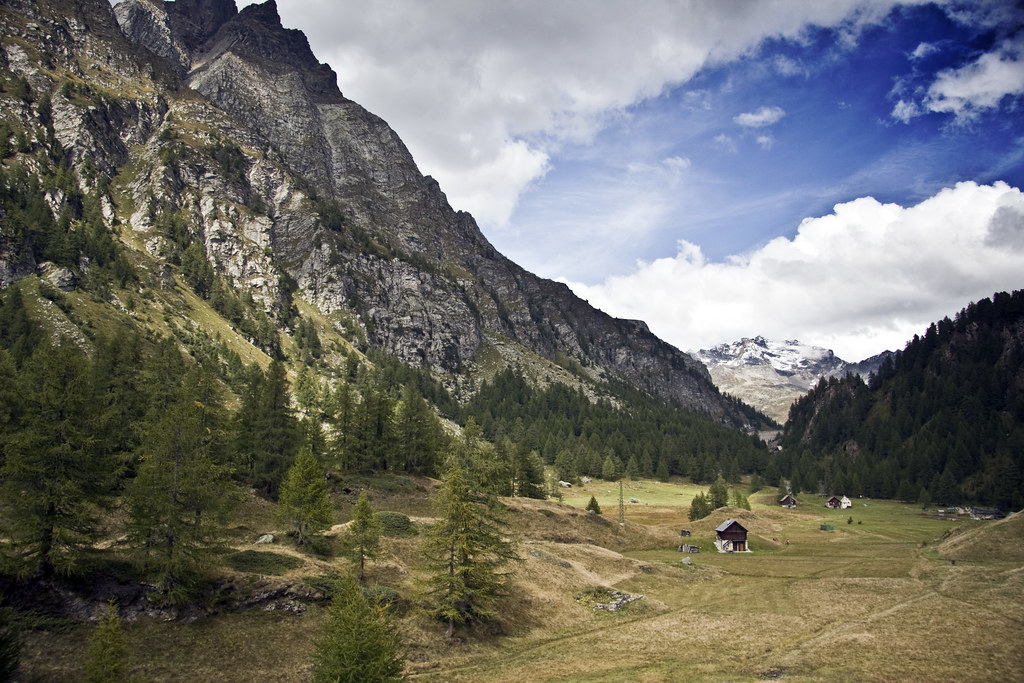
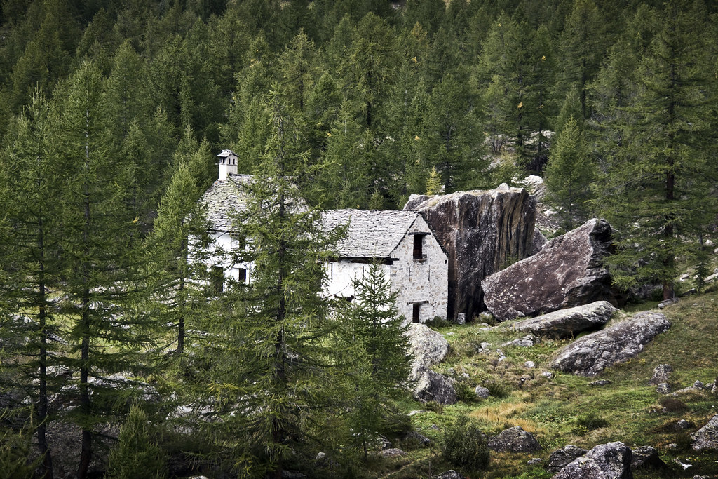
Once you enter the scattered vegetation, go ahead into the valley called the "Vallaro", at the foot of the P.zo Stange, from which it is possible to observe the huge landslide above the Alpe Campello. Turning left and after passing by two country buildings, one of which has been recently restored, you reach a lime cave with a lime-kiln which have fallen into disuse.
Going back to the main path, go ahead along the stream. After passing by some Alpine huts, you will enter a plain area. Walking on the left, you will briefly reach the "Lago delle Streghe", which is signalled on the maps with the toponym "Lago Azzurro", an enchanting small lake circumscribed by morainic detritus and fed by a subterranean source.
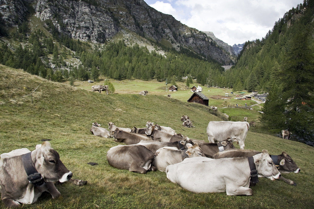
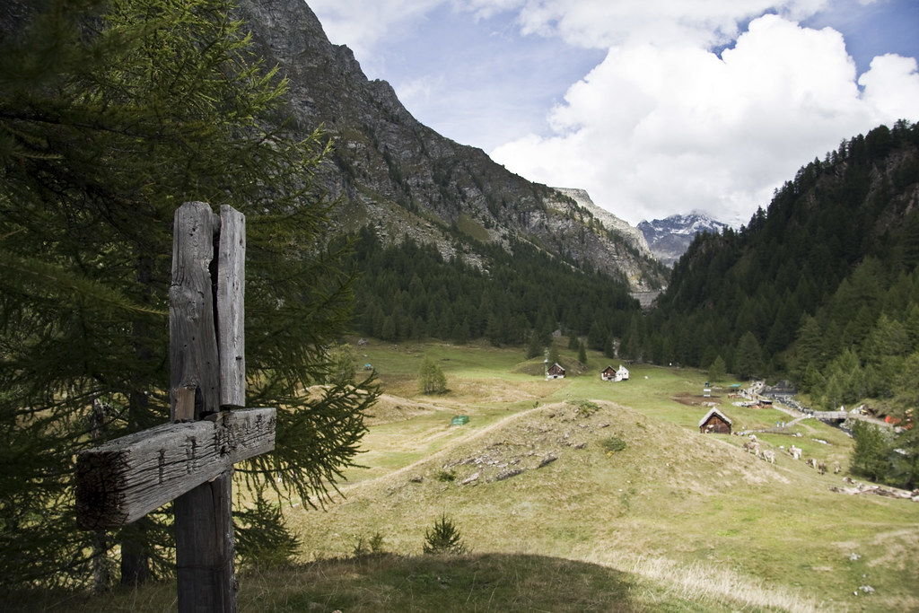
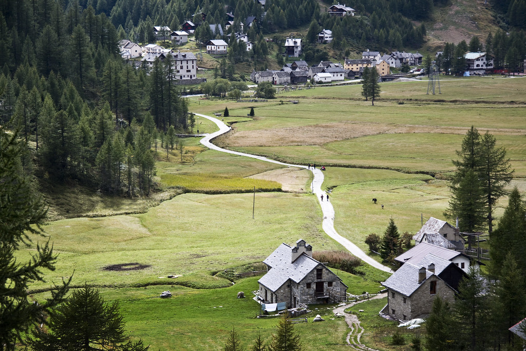
From here, after crossing a little trunk working as a bridge and after crossing the meadows, you get to the village of Crampiolo, one of the rural centers of the Alpe Devero and a starting point for further excursions.
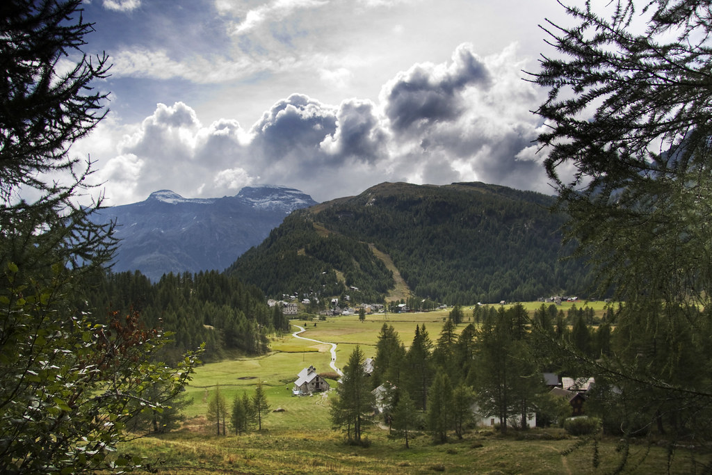
Among the different itineraries, we suggest the tour of the Lake of Devero, also called of "Codelago", a not very demanding tour offering great views. At the end you can go back by following the same path, or following the service carriage road, or walking along a shaded path which develops into a wonderful larch wood.

Saturday, November 28, 2009

Cows Panorama

Cows Panorama

Alpe - Veglia - Devero

The Park, composed of the two adjacent areas of Veglia and Devero, is one of the most beautiful and fascinating places of the Alps. It is easily reached, offers many interesting elements and is well equipped for taking an outing in direct contact with nature. Both Veglia (4120 hectares) and Devero (6674 hectares) consist of wide hollows of glacial origin, surrounded by the peaks of the Lepontine Alps, among which the highest is Mount Leone (3355 m asl). The two areas are characterised by the typical highlands environment, with woods of larches, black mountain pines and Norway spruces that you can encounter even above 2000 metres of altitude. The under-wood is virtually carpeted with rhododendrons and blackberries. The wide pasture lands for cattle (mainly of the brown alpine breed), resulting from millennial passionate efforts of local people, represent an essential part of this landscape. All over this area, there are plenty of streams, rivers and enchanting alpine lakes. As far as fauna is concerned, here you have the chance of hearing marmots whistling, seeing golden eagles flying, and spotting alpine wild goats, chamois, mountain hares, ermines, badgers, and squirrels. In the valley live the rare black grouse, the willow grouse, the European common frog and the Alpine newt. Not to mention the splendid dragonflies that populate alpine lakes. Recent botanical, mineralogical and archaeological research works produced very interesting outcomes. In particular, the presence of a seasonal settlement of nomadic hunters in the Mesolithic era (8th millennium b.C.) was proved as well as the existence of some Iron Age sites (6th cent. b.C.). In one of these settlements, it was possible to recover a fragment of rupestrian painting dating back to the end of Neolithic (3rd millennium b. C.).

The signalled path web is widely spread and ranges from amateur walks to itineraries expressly meant for experienced climbers. During the winter period, when snow covers the entire region for as long as 7 months each year, you can enjoy this fully equipped skiing domain (downhill and cross-country). Crodo is one of the best visit centres.